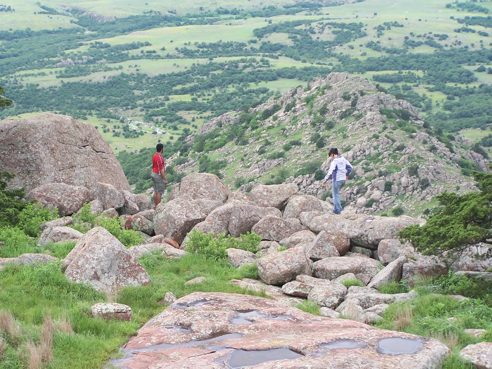
 Photo · U.S. DOT / FHWA
Hiking · 16 min read
A Responsible Hiking Guide to the Wichita Mountains
Compare official trail distances and ratings, understand data conflicts, choose terrain honestly, and plan around heat, wildlife, water, and access.
Preparing the next useful page…
Published in this section
Evergreen reporting and practical guidance, selected for this part of local life.
Photo · U.S. DOT / FHWAHiking · 16 min read
Compare official trail distances and ratings, understand data conflicts, choose terrain honestly, and plan around heat, wildlife, water, and access.
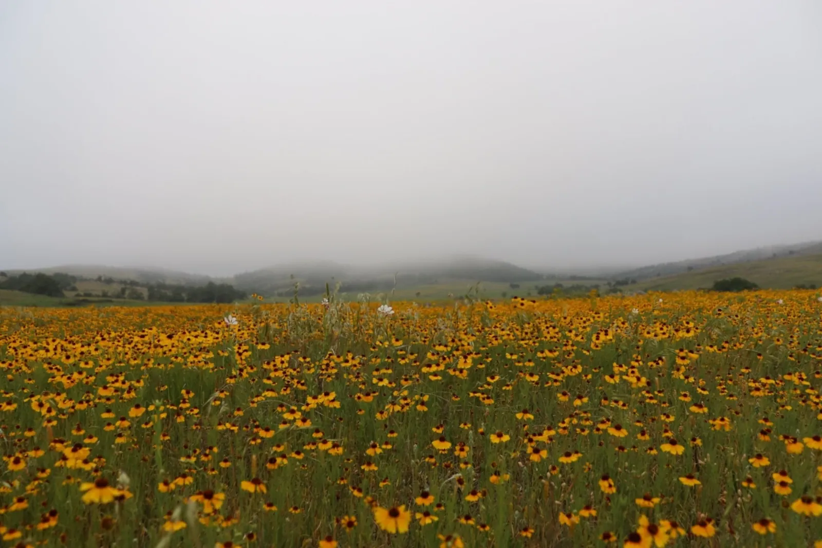 Photo · USFWS
Family trails · 11 min read
Use official easy-route data without pretending that short mileage removes heat, wildlife, surface, or accessibility considerations.
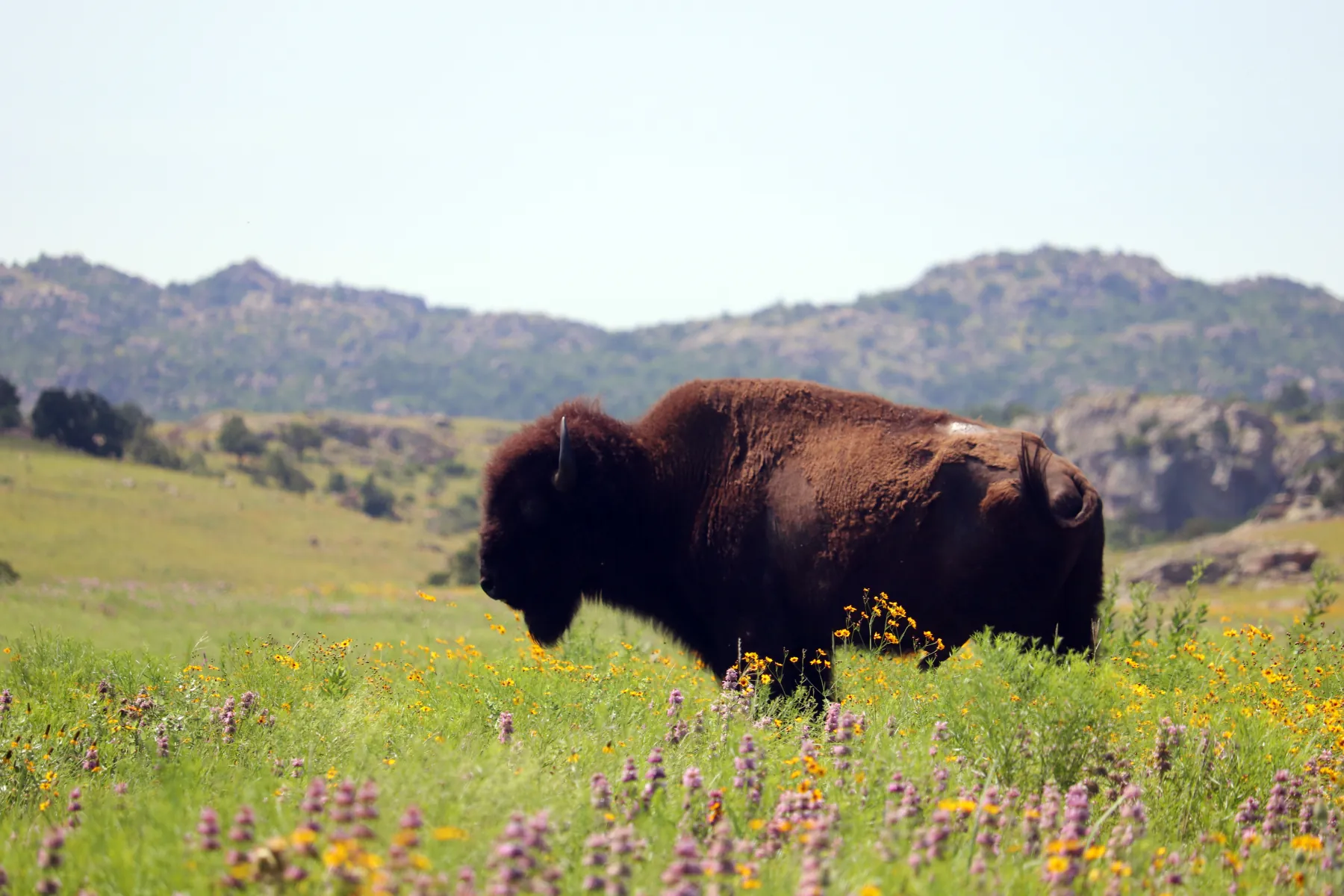 Photo · Quinton Smith / USFWS
Wichita Mountains · 13 min read
Plan a first refuge day around live conditions, maps, water, wildlife, the visitor center, Mount Scott, short walks, and realistic pacing.
14 verified field notes
Distances and access labels come from the linked official sources. Conditions, hours, fees, and rules can change; open the current source before making a special trip.
A roughly 60,000-acre refuge west of Lawton with prairie, granite, lakes, wildlife watching, scenic roads, and an official trail network.
A short official refuge route to the area around the historic tower; the tower itself is closed to entry.
The refuge’s shortest listed trail, shown on the official map as an accessible route near the education center.
A short lakeside refuge trail; day visitors should remain outside the campground unless they are registered campers.
A short, rocky climb from the Quanah Parker Lake dam area to a granite overlook, including a modest scramble.
An easy official refuge trail starting at the Osage Lake parking area and following lake-edge terrain.
A compact refuge route with prairie, lakeside, wooded, and rocky segments beginning at the Burford Lake lot.
A short but moderate canyon route from the Boulder Cabin Picnic Area over loose gravel and rock beside a seasonal stream.
A canyon-rim route between the Lost Lake and Boulder areas with access toward Forty Foot Hole; use the current FWS rating.
An easy one-mile route shown on the official refuge map as accessible; current installation-area access should be confirmed before travel.
An easy official connector from French Lake parking toward the Bison Trail over dirt, rock, and gravel.
A difficult official route from Sunset Picnic Area over rock, dirt, gravel, and extensive stone stairs.
A difficult Wilderness route from Sunset Picnic Area toward Treasure Lake; through-hikers need a pickup plan because it is not presented as a loop.
A long, exposed refuge route whose official page, brochure, and GIS disagree on exact length and difficulty; verify with FWS before a distance-critical plan.
Official planning desk
These are the primary public agencies and destination owners for live conditions, access, maps, permits, and hours.
Current refuge trail information↗Official refuge map↗Refuge alerts & conditions↗